Weekly Construction Chatter #2: Using Drones

  • 25 January 2023
  • 5 replies
  • 86 views
Weekly Construction Chatter #2: Using Drones
Userlevel 5

This is a weekly series of discussion posts centered on various industry topics, and we are calling it our Weekly Construction Chatter! This will be a reoccurring event where the Community can come together to discuss a specific topic or theme where everyone is encouraged to share their thoughts and ideas. To engage with a weekly discussion series, you can actively listen to others and contribute by asking questions, commenting, and sharing your own experiences and insights. Respecting others' opinions and contributing to a positive and inclusive atmosphere are important.


💬 Weekly Construction Chatter #2


Drones have become an increasingly popular tool for reality capture, offering a cost-effective and efficient way to gather data and images from various locations. 


How are you using drones today? Are you using them for reality capture in your work? If so, do you have drone pilots on staff, or do you use drone service providers? What safety or legal regulations are you having to consider?


5 replies

Userlevel 6
Badge +2

I am not currently using drones.  In the past I have only used them for performing a 3D scan analysis of how much soil would need to be removed from a site to bring it to the grade we needed for foundations.  Was pretty accurate (under 5% off) very useful for buying the excavation/landscaping package.

Userlevel 5

@Gerard O'Donnell Thanks for sharing about your past experience with drones. It sounds like they were a real asset in your excavation and landscaping project! I'm curious, have you thought about utilizing drones for other future purposes?

Userlevel 6
Badge +2

@Krystal Wu would love to, but on my projects in NYC it is pretty difficult to use them.  Even just getting a site that is outside of the various airport restrictions is kind of luck if the draw.

Userlevel 5

@Gerard O'Donnell Ah right, airport restrictions! Well, it can definitely be a hurdle, but it's great to hear that you're still interested in utilizing them on your projects. Hopefully one day!

Hi there 

I am new to openspaxce and started using it now to provide a service to my client that has multiple construction sites near where I live. It also gives me evening access to the yards to experiment and try out some new methods and capturing .

I just bought the insta Sphere and was going to experiment a bit with it. So in essence I could film the whole front and rear facade of a 8 story high project with it and the roof , is that right? It will also come in handy after a concrete pour.

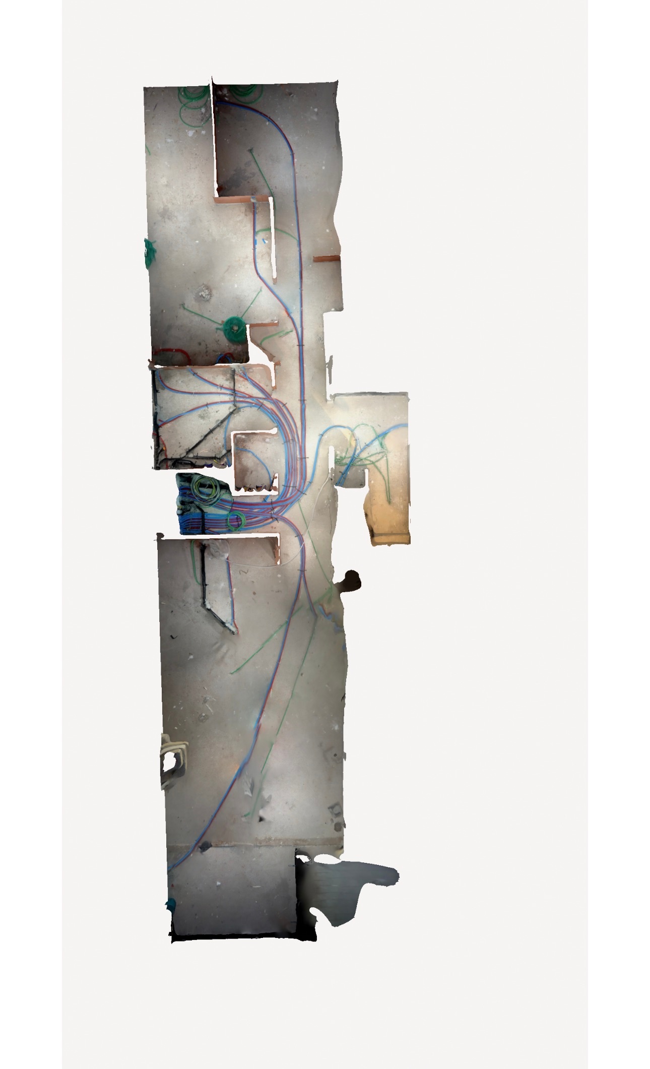
My doubt is if I were to use the Mavic air2 to map a daily route on each level of the construction and in the garage underground sections, the drone will not have gps contact, so how will the tour show up n the project? For this reason I was looking into the Parrot ANAFI Ai that has a G4 connection and indoor mapping capabilities.

I want to apply at parrot enterprise dicvision for a loan program to see if we can actually use the drone indoors . I will also have to look for a camera attachment on this drone for my insta 360 RS one as the sphere probably won't fit the parrot. Any suggestions from your side?

One of my drones is the Mavic 3 T enterprise with the thermal camera, besides checking for leaks, solar panel and rooftop inspections are there any other surveys or inspections u could find use for the thermal camera in construction?

Best Regards


Yves


Reply